The Pacific Ocean is boiling. Right now, sea surface temperatures in the central equatorial Pacific have shattered previous records, blowing past the peaks seen during the legendary 1997 and 2015 cycles months before its expected winter peak. Climatologists are calling it a "super" El Nino. Aid groups, local governments, and emergency managers are quietly scrambling because they know what historic heat in the water actually means for dry land.
If you think this is just another routine weather cycle to shrug off, you are missing the bigger picture. When the ocean surface warms this drastically, it acts like a giant atmospheric engine. It alters jet streams, supercharges storms, starves certain regions of rain, and dumps catastrophic floods on others. Also making headlines recently: Why The August Hanning Spy Scandal Exposes Deep Structural Rot In German Intelligence.
The Numbers Behind the Monster Wave
To understand why experts are on high alert, look at the data. On September 21, daily sea surface temperatures in the key El Nino monitoring region reached over 3 degrees Celsius above the historical average. That broke benchmarks set during past climate anomalies, and it happened while the phenomenon was still gaining steam.
This extra heat doesn't stay trapped in the water. It transfers directly into the atmosphere, throwing global weather patterns off kilter. According to independent projections from research groups like the University of Chicago's Climate Impacts Lab, this intensity level could drive global average temperatures up enough to trigger hundreds of thousands of heat-related deaths worldwide over a multi-month period. Further insights on this are detailed by The Guardian.
We aren't talking about abstract numbers on a computer screen. We are talking about concrete disruptions to daily life, food production, and human safety.
What Happens When the Jet Stream Moves
El Nino works by relaxing the trade winds that normally push warm water toward Indonesia. That warm water sloshes back across the Pacific toward the Americas, creating a massive bulge in sea levels and altering atmospheric pressure.
When this happens, the jet stream shifts. In the United States, that shift usually means heavy, relentless storms slamming the West Coast and parts of the Southeast, while the Pacific Northwest faces warmer, drier conditions that shrink snowpacks and drain water reservoirs.
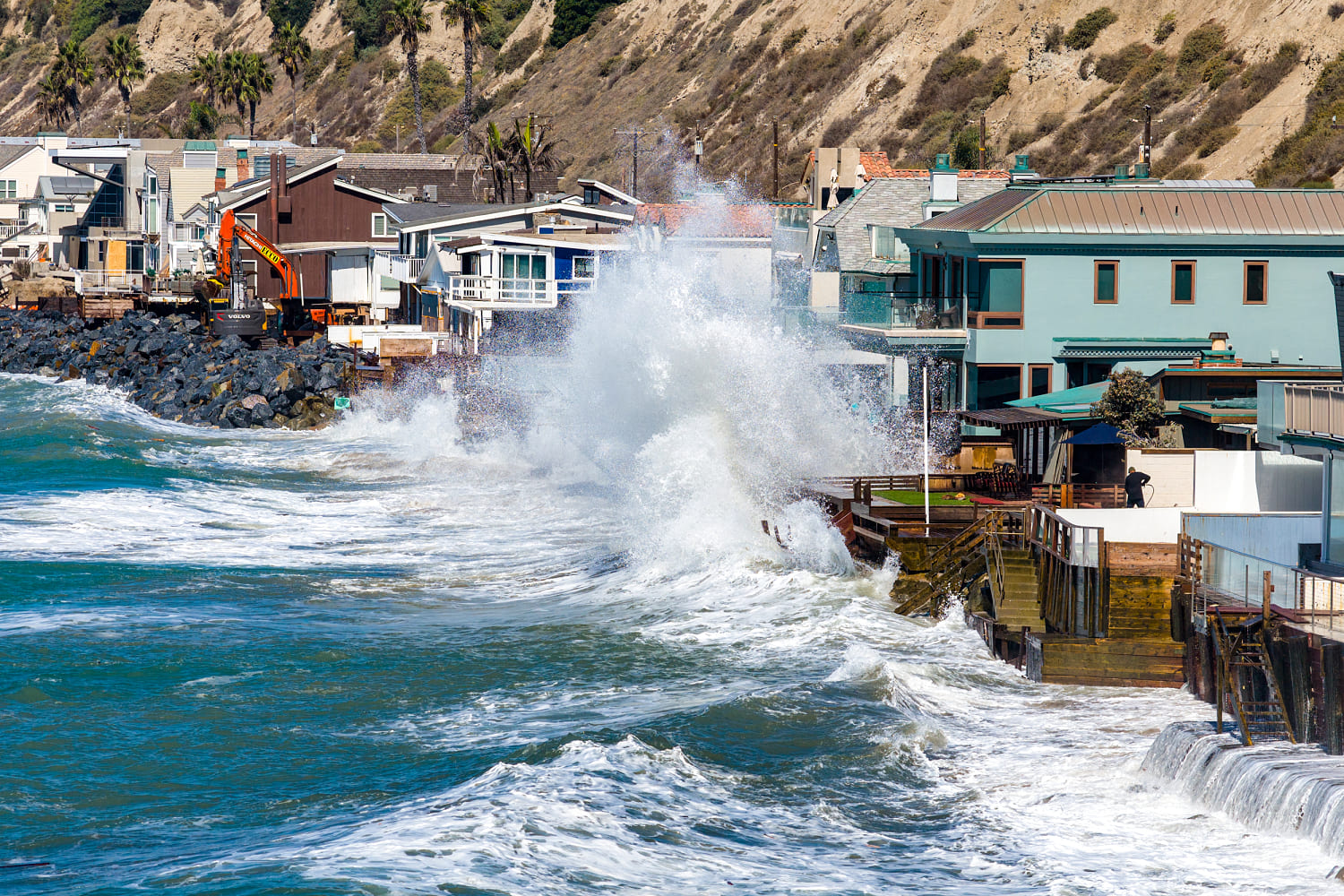
Take California as a clear example. State officials didn't wait for the first flood warning to act. Governor Gavin Newsom declared an emergency preemptively, recognizing that aging stormwater systems, century-old dams, and saturated soil could turn atmospheric rivers into historic disasters. Coastal communities face a double threat: higher baseline sea levels from the thermal expansion of warm water, paired with aggressive winter storm surges that chew away beaches and wreck piers.
The Global Humanitarian Crisis Nobody Is Talking About
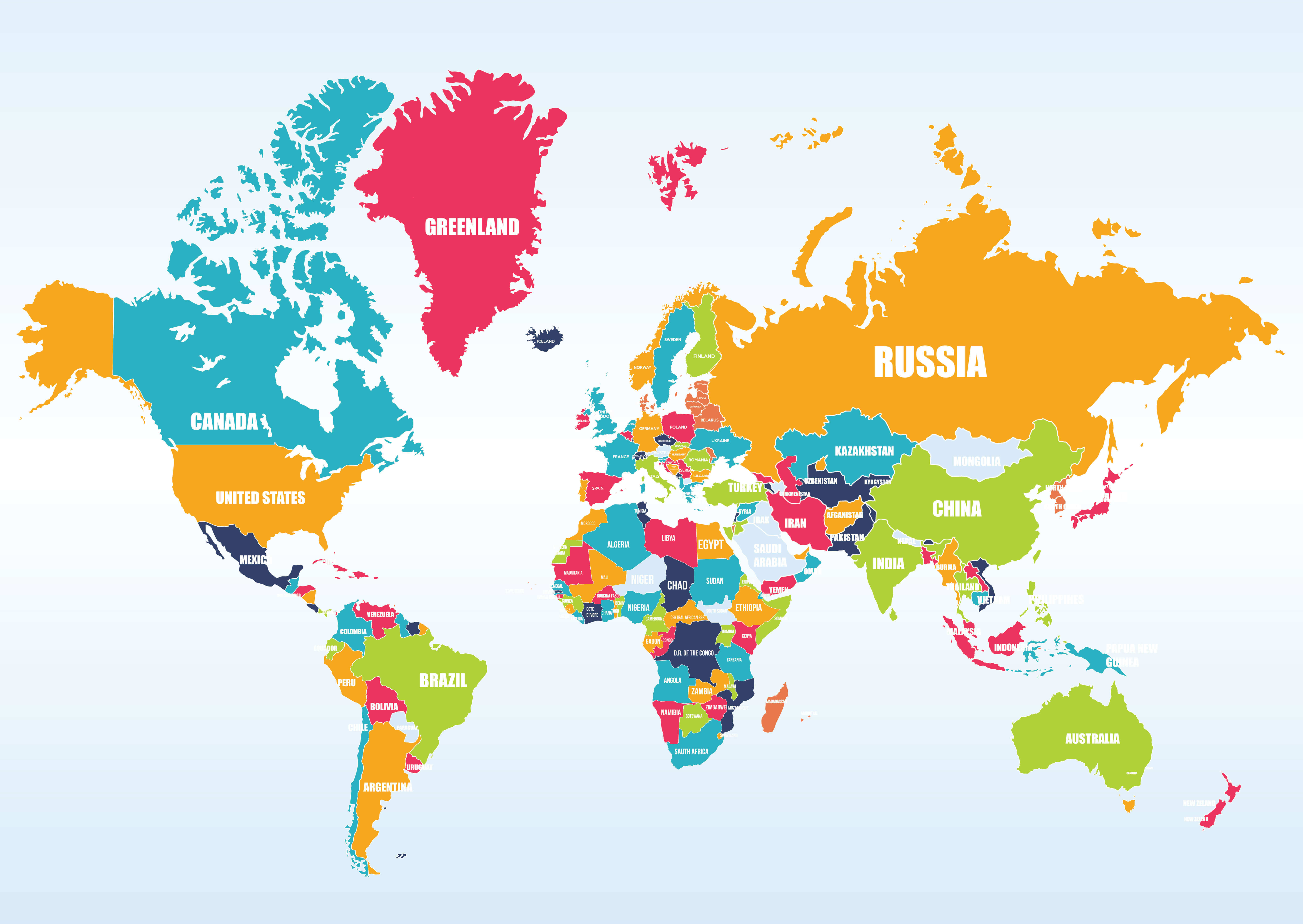
While domestic concerns focus on flooded basements and ruined coastal real estate, the international fallout is far more severe. Aid agencies are sounding alarms for vulnerable populations across East Africa, parts of South America, and regions already strained by conflict and food insecurity.
In places like Papua New Guinea, the early impacts are already visible. Water shortages, damaged crops, and spiking market prices offer a grim preview. When El Nino brings prolonged droughts to agricultural powerhouses, global supply chains feel the shock. Crops like rice, coffee, and cacao suffer under erratic weather swings. Those agricultural hits eventually translate straight into higher grocery bills for everyday consumers.
Why Preparedness Falls Short
The frustrating reality is that we saw this coming. Climatologists tracked the rapid development of Pacific warming months ago. Yet, institutional response mechanisms often struggle with slow-moving, high-impact threats.
Emergency response systems are built for immediate, acute disasters—a sudden hurricane, a localized flash flood, or a fast-moving wildfire. They struggle when given months of warning for a broad, systemic shift like a super El Nino. Agencies find themselves underfunded and stretched thin precisely when they need to stage resources in advance. Research agencies like NOAA have faced administrative hurdles and staffing cuts right when continuous ocean observation is most critical.
How to Protect Yourself and Adapt
You cannot control global climate anomalies, but you can manage your personal exposure to weather volatility.
If you live in a flood-prone zone or along a vulnerable coastline, take action now before the winter storms arrive. Clear out local drainage paths, inspect your property's grading, and review your insurance coverage. Standard homeowner insurance policies typically exclude flood damage, meaning separate coverage is a necessity if you reside near water or in low-lying areas.
If you run a business reliant on supply chains or agricultural inputs, expect price volatility. Build flexibility into your procurement strategy now, rather than waiting for crop failures to disrupt your inventory.
The super El Nino is here, and its reach is global. Understanding its mechanics is the first step toward weathering whatever the Pacific decides to send our way.