Geopolitical chess moves rarely come with a user manual, but Manila's recent release of updated maritime charts centering on Thitu Island has sent a clear, unvarnished message across the South China Sea. If you have been following the endless territorial friction between the Philippines and China, you know that lines drawn on paper carry heavy real-world consequences. This isn't just about ink or geography. It is a calculated legal pushback designed to rewrite the operational rules of engagement in a contested zone.
The Real Intent Behind Manila's Mapping Strategy
Why publish new charts now? Governments don't spend diplomatic capital and risk immediate verbal backlash from Beijing without a concrete strategy. By formally publishing precise coordinates, official charts, and the legal foundations of its position around Thitu Island—locally known as Pag-asa—Manila is stripping away tactical ambiguity. For an alternative perspective, read: this related article.
For years, gray-zone tactics relied on fuzzy boundaries and disputed interpretations of historical claims. When you codify your administrative boundaries and maritime jurisdictions with official coordinates, you force international law into the spotlight. You make it much harder for rival claimants to pretend that established features like the Kalayaan Island Group are floating in a legal vacuum.
Experts point out that this move anchors Manila’s position directly to the United Nations Convention on the Law of the Sea (UNCLOS). It provides Philippine coast guard vessels, local fishermen, and international allies a precise cartographic shield. Related analysis regarding this has been published by The Guardian.
Why Thitu Island Matters More Than Ever
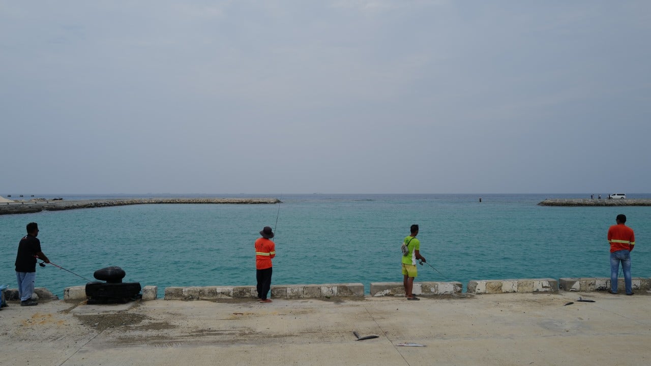
Thitu is not just another speck of sand in the Spratlys. It is the beating heart of the Philippine administrative presence in the region. Lying roughly 270 nautical miles west of Palawan, it functions as the actual municipal seat of Kalayaan. It houses a permanent civilian population, a school, a newly upgraded runway at Rancudo Airfield, and a vital sheltered harbor built to withstand rough waters and hostile shadowing.
When you invest heavily in physical infrastructure on an isolated outpost, you are making a long-term bet. Manila has poured resources into transforming Thitu into a stable, functioning community rather than a temporary military garrison. Publishing updated charts featuring these upgrades reinforces the permanence of that civilian and sovereign footprint.
The Pushback From Beijing
Naturally, Beijing rejected the move instantly. Foreign ministry spokespersons routinely label such Philippine actions as violations of Chinese sovereignty, pointing right back to their expansive maritime claims. We have seen this script play out repeatedly: diplomatic protests, water-cannon incidents, and dangerous close-quarters maneuvering by the China Coast Guard near contested reefs and shoals.
Yet, Manila is refusing to blink. Instead of backing down under pressure, the Philippine strategy has shifted toward transparency and internationalization. By bringing formal charts into the public domain, the government invites allied scrutiny, multilateral legal backing, and constant media attention to every single confrontation at sea.
What Happens Next on the Water
Cartography alone won't stop a coast guard cutter from blocking a supply run. Physical reality on the water remains tense, volatile, and heavily militarized. But map-making changes the long-term legal architecture of the dispute. It builds an airtight paper trail for future international arbitration tribunals and strengthens the diplomatic hand of every nation advocating for freedom of navigation in the Indo-Pacific.
Keep your eyes on how regional neighbors respond and whether other Southeast Asian claimant states decide to update their own administrative maps in kind. The battle for the South China Sea is fought with steel hulls and radar screens, but the final verdict will rely heavily on who owns the legal high ground.